
GIS foundations. Remote sensing depth. AI capability.
A geospatial career built across spatial data, enterprise GIS, earth observation, automation and applied machine learning.
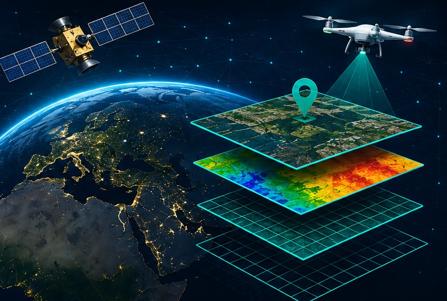
Turning geospatial complexity into usable systems.
My name is Ruturaj Gund, and I am an Associate Principal GIS Analyst based in Pune, India, with over 13 years of experience in geospatial technologies supporting infrastructure, utilities, environmental and transportation projects across diverse regions.
My core expertise is in the Esri ecosystem, including ArcGIS Enterprise, ArcGIS Online, ArcGIS Pro, Survey123, Field Maps, StoryMaps, Dashboards and Experience Builder, with a strong focus on enterprise GIS implementation and geospatial solution development.
Alongside GIS and remote sensing, I work extensively with Python, FME, Power BI and workflow automation, developing practical solutions that improve productivity, data quality and geospatial decision-making.
A major area of my recent work and professional development is the integration of GeoAI, Artificial Intelligence, Machine Learning and Deep Learning with traditional geospatial workflows. This includes AI-assisted image classification, computer vision, OCR-based geospatial data extraction, automated GIS processing and intelligent spatial-analysis workflows.
Beyond technical project delivery, I contribute to technical bids and proposals, solution development, effort estimation and methodology preparation, helping translate complex geospatial requirements into practical and scalable technical approaches.
My academic background combines geospatial science with artificial intelligence. I hold a Master's in Geography, a Master's in Remote Sensing & GIS, and an M.Tech in Applied Artificial Intelligence from NIT Nagpur.
My continuing focus is on advancing GeoAI, geospatial automation and data-driven advisory solutions—combining geospatial intelligence with modern AI to create more efficient workflows, stronger analytical capabilities and greater value from spatial data.
This portfolio is intentionally public-safe. It describes methods, outcomes and technical capabilities without exposing client-sensitive information.