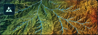
Gully Extraction Using ML
Terrain and hydrological feature modeling for automated gully extraction from high-resolution DEM.
Machine LearningPython
AUC 0.9650 · F1 0.8224
→
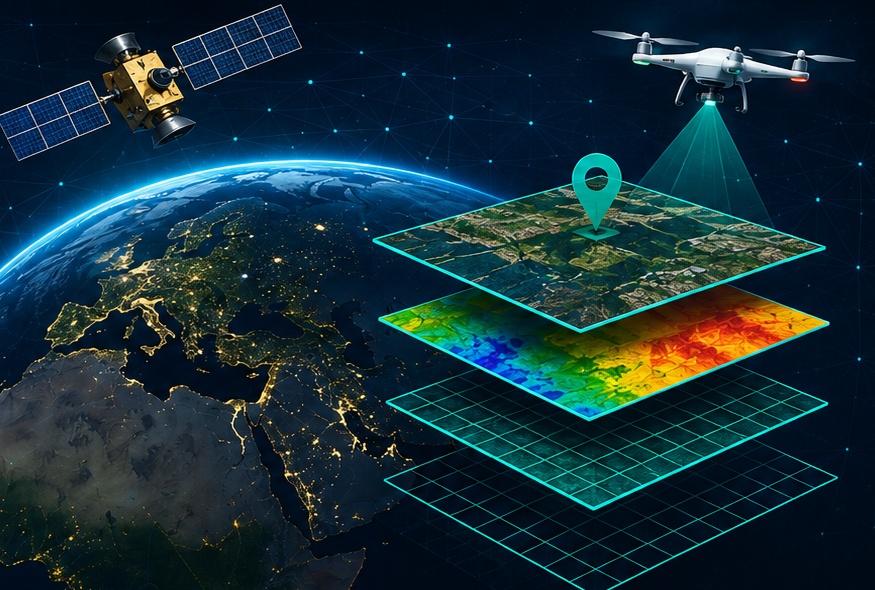
I build intelligent geospatial solutions using Remote Sensing, GIS and AI/ML to extract meaningful insights and solve real-world environmental and engineering challenges.
Terrain and hydrological feature modeling for automated gully extraction from high-resolution DEM.
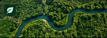
Multispectral semantic segmentation for complex vegetation and land-cover classification.
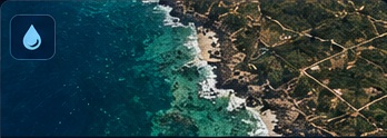
Adaptive spectral and image analysis workflow for robust water extraction from high-resolution imagery.
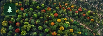
Tree detection, geolocation and satellite time-series health analysis at individual-tree level.